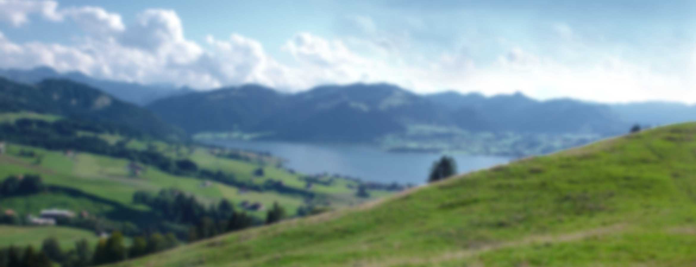
3D Effect
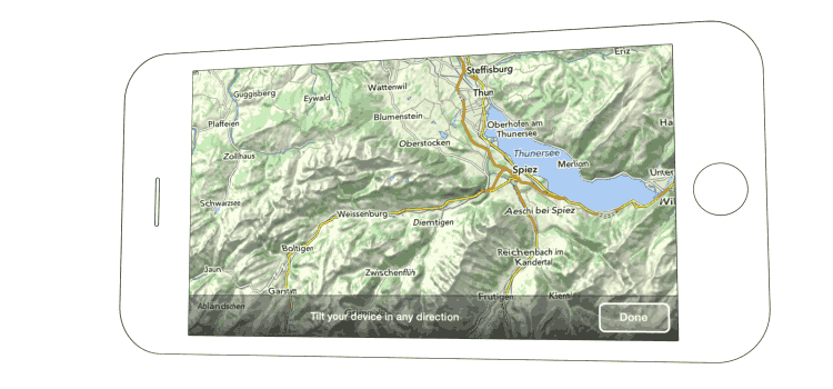
Tilt your device in any direction and experience how the landscape will move under your fingers.
Video
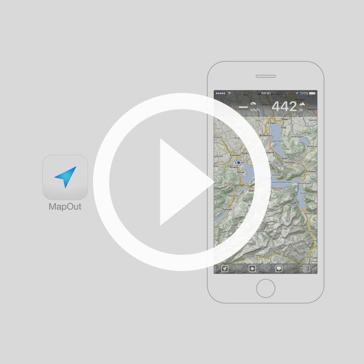
Interested how it looks like in real life? Take a look at our MapOut video.
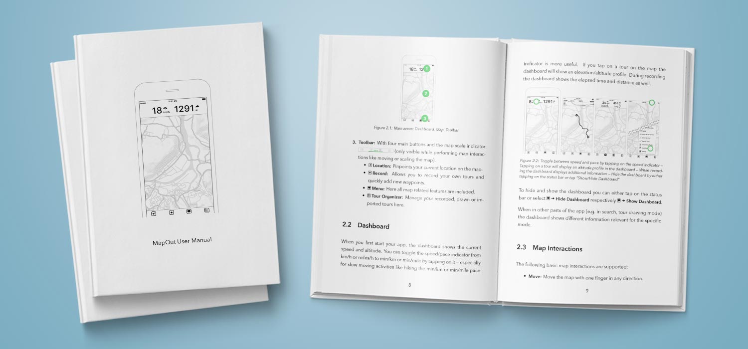
Find all answers to your questions in our user manual. Available online or as convenient PDF download.
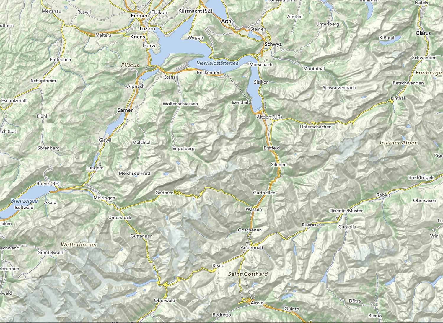
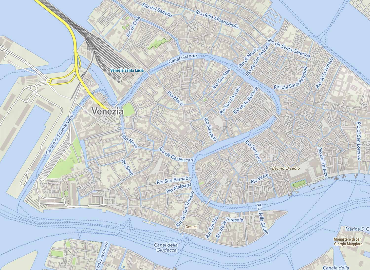
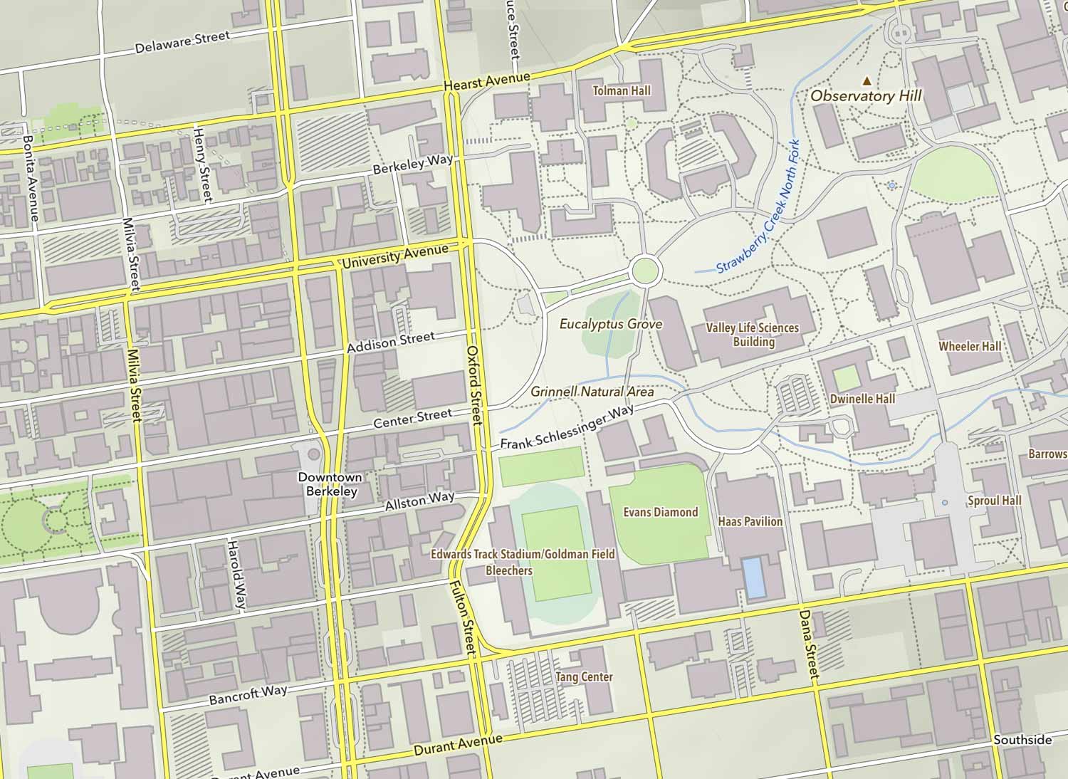
OpenStreetMap
Uses map data from the “Wikipedia of maps” – help improving it by adding streets or fixing errors directly on OpenStreetMap.org.
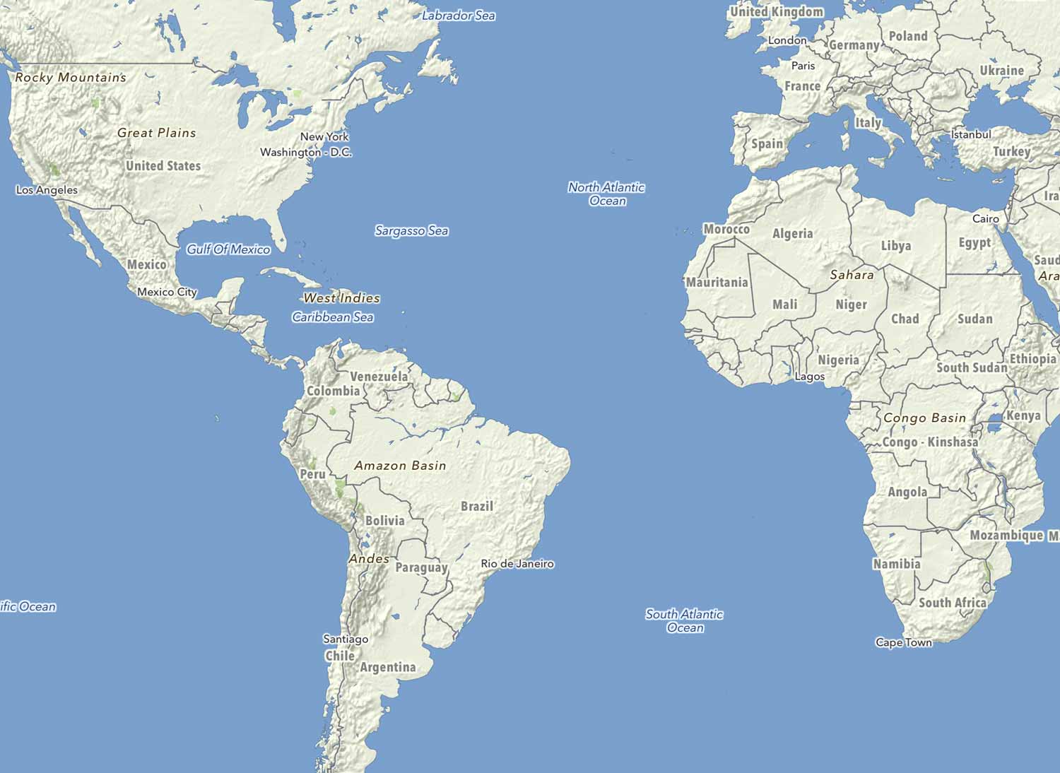
Offline
Download the map region of interest. Full access to your map when your travel, even when no internet connection is available – the perfect hiking/cycling app.
OpenGL
The map is not just beautiful, but fast too. Utilizes the same OpenGL acceleration found in games.
Always with you
Because you take your phone with you on all adventures anyway: MapOut adds zero weight to your biking or hiking equipment.
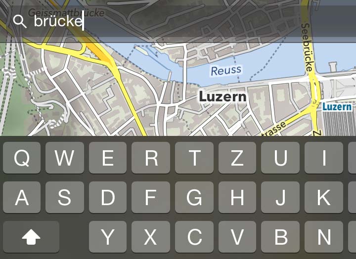
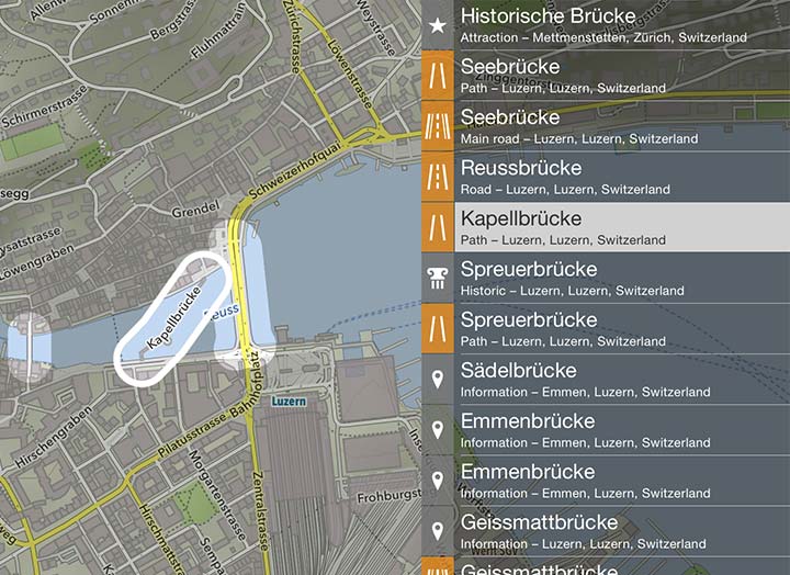
Search Anywhere & Anytime
Search for place-marks, streets, mountains, etc. No internet connection required. All results in your neighborhood are displayed and can be selected.
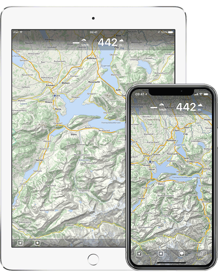
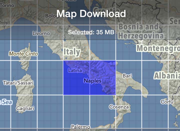
Download Maps
Download any map area you like – they are stored on your mobile device and you always have access to your map even if you have no internet connection traveling abroad or outdoors.
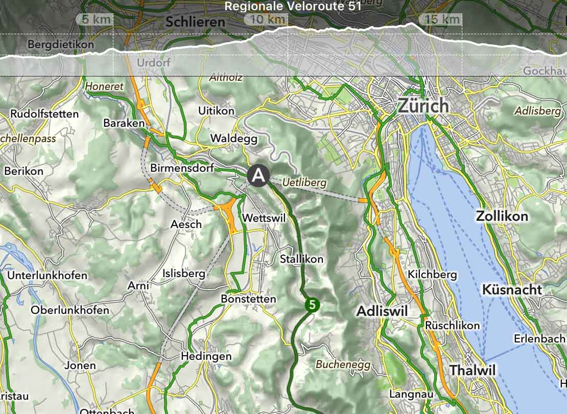
Hike & Bike Overlays
National and regional cycling tracks and some hiking trails are already included, all with altitude profiles.
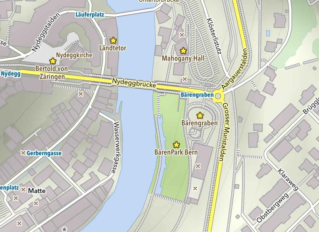
Tourism Overlay
Emphasizes tourism related points-of-interest like landmarks, hotels and restaurants.
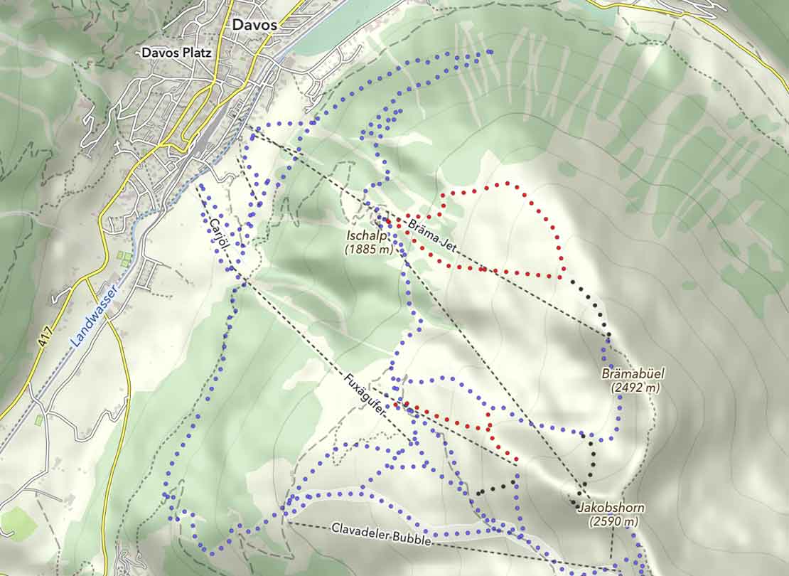
Wintersport Overlay
Many mountain ski resorts are included, inclusive piste-difficulty grades.
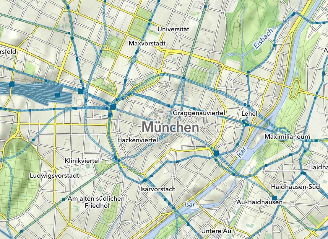
Public Transport Overlay
Most public transport lines are included and are of great help finding your bus-stop after a long hike.
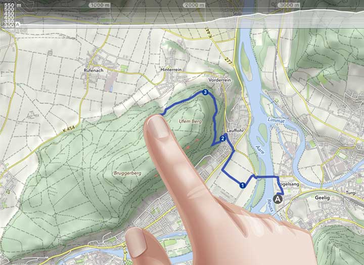
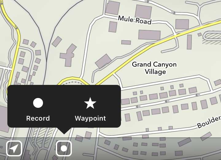
Draw Tours
With your finger draw your own tours and waypoints directly on the map. Touch-up existing tours and imported GPX tracks and snap them to the road network. Route planning on the go - without internet connection.
Record Tours
Create your own routes and share them with friends. All recorded tours automatically get enhanced with an altitude profile and a list of villages or important landmarks you traveled by.
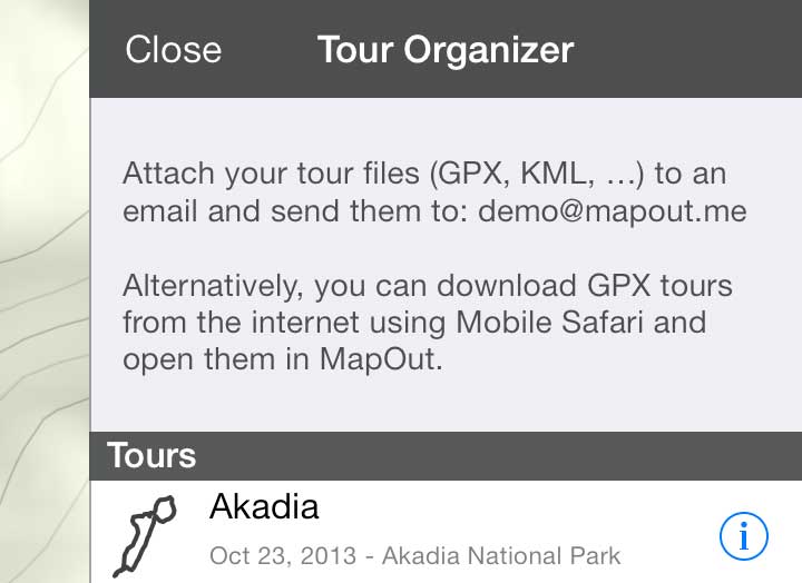
Import Tours
Either directly import tours or apply for a free "MapOut.me" account and you can send tours directly via email (as attachment) into the app - GPX or KML routes you found on the internet, e.g. from GPS-Tour.info – SchweizMobil.
Organize your Tours
All tours (recorded and imported) are easily accessible and can be organized in subfolders.
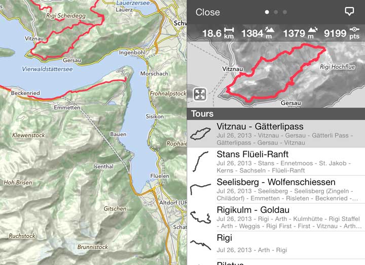
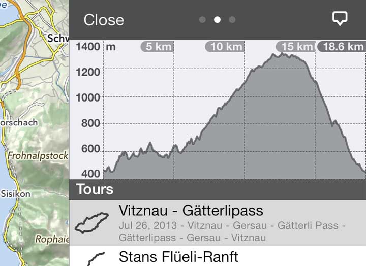
Tour Details
Get a quick overview of your available tours – distance, ascent, descent or an elevation profile.
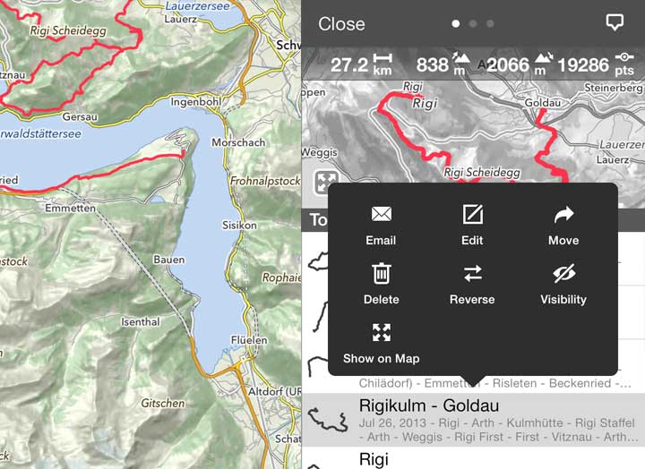
Manage and Share Tours
Share, export, edit or get details of each tour.